🛫
Live METAR & TAF
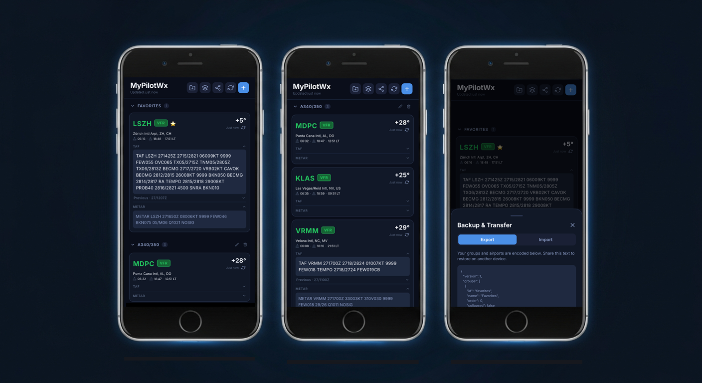
Raw METAR and TAF data fetched directly from aviationweather.gov, always up to date.
🎨
Flight Category Colours
VFR, MVFR, IFR, and LIFR are instantly colour-coded so you can read conditions at a glance.
📂
Airport Groups
Organise your airports into named groups — home base, route stations, alternates — all collapsible.
🌅
Sunrise & Sunset
Local sunrise and sunset times shown on every card, with the correct local time for each airport.
⭐
Top Favourite
Pin one airport as your Top Favourite. Its METAR and TAF appear instantly when you open the app.
💾
Backup & Restore
Export your airport configuration as JSON and import it on another device in seconds.
🔍
ICAO & IATA Search
Add airports by ICAO (4-letter) or IATA (3-letter) code. The app validates the station before adding.
🌙
Dark Mode, Always
Optimised for cockpit and low-light environments with a deep navy colour scheme throughout.